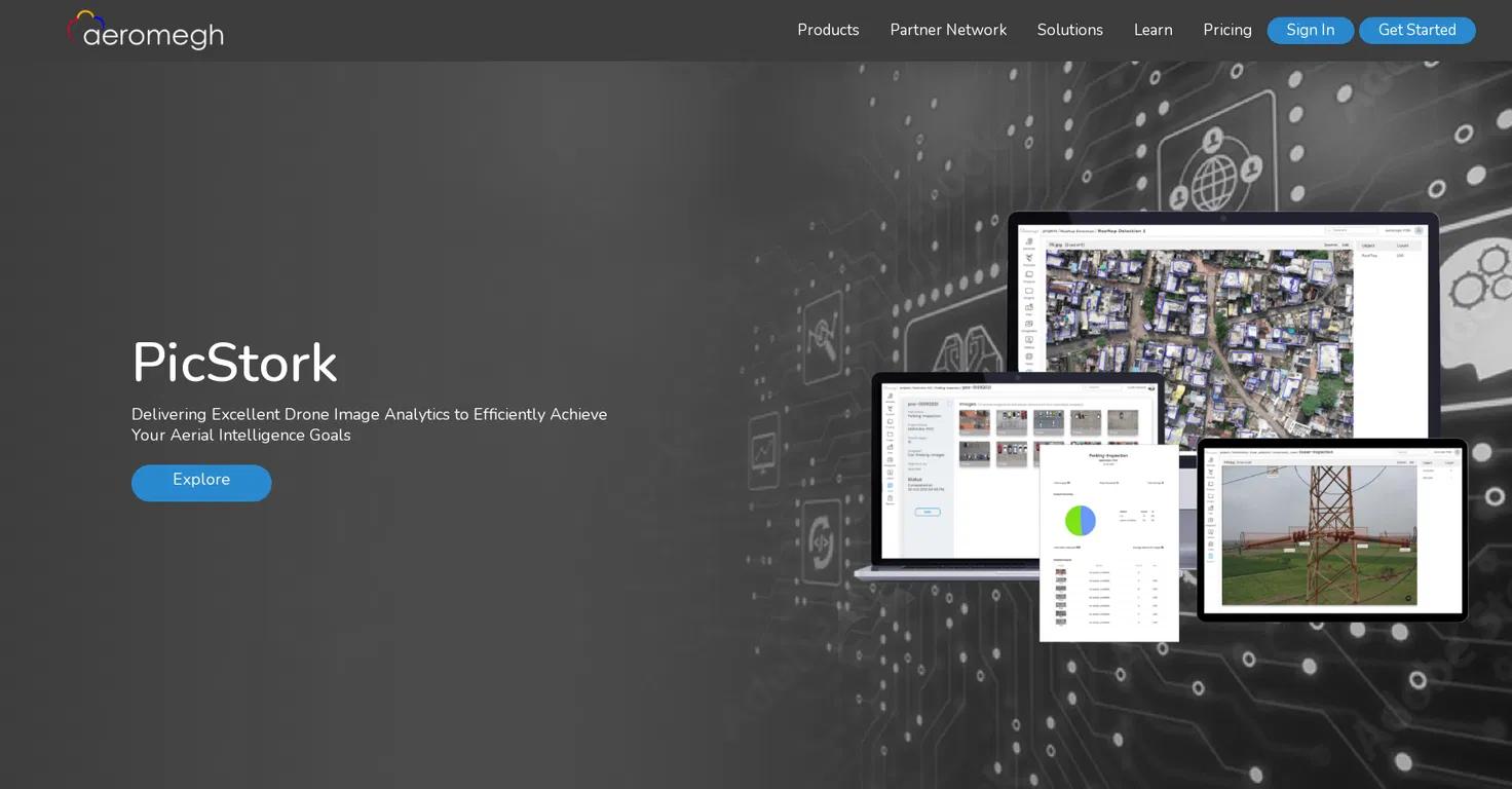
PicStork is an AI-powered geospatial analytics platform that automates end-to-end aerial image analytics.
Aeromegh Key Details
- Categories: #Image generator
- Verified Tool
- August 19, 2024
- $3875Paid

Visit
About Aeromegh
PicStork is a cutting-edge platform that brings automation to aerial image analytics. It allows users to upload their data, train detectors, and analyze data, all in one place.
Background and Development
PicStork was developed by a team of experts in the field of aerial imagery and machine learning. The platform has evolved over time, incorporating user feedback and technological advancements to provide a comprehensive solution for aerial image analytics.
Core Features and Capabilities
PicStork offers a range of features including image preparation, model building, workflow creation, analysis, and sharing. It enables real-time analysis of drone-captured images and provides optimized algorithms for faster object detection.
User Experience
PicStork provides an intuitive user interface and a seamless user experience. Users can easily upload datasets, build models, define workflows, and view and share results.
Applications and Use Cases
PicStork can be used across various sectors including surveying and mapping, agriculture, construction, and power. It is particularly useful for tasks that require aerial image analysis and object detection.
Impact and Future Outlook
PicStork has revolutionized the way aerial image analytics is done, providing users with faster and more accurate results. The platform continues to evolve, with plans for new features and improvements based on user feedback.

PXZ AI
Create images, videos, and animations with one Visual-AI suite. Switch styles, edit visuals, or generate from scratch—id...

ImpossibleImages
Impossible Images is a platform for generating, exploring, and selling unique AI-generated images. It offers a user-frie...

AI Tattoo Ideas
AI Tattoo Ideas is a revolutionary tool that generates unique tattoo designs based on your preferences. Explore unlimite...

iFoto AI
iFoto AI Photo Editor is a revolutionary tool that elevates your e-commerce with AI-powered photo editing capabilities. ...

ROOMDESIGNER
ROOMDESIGNER.AI is an AI-powered tool that allows you to redesign any room, home interior, exterior, or garden in over 2...

Clona
Clona offers deep, personal connections with AI versions of your favorite creators. Chat, generate photos, and experienc...

